
Well before the construction of the Diama dam, the lower delta was already under the permanent influence of exchanges between the sea and its tides, and the river and its flood periods.
The hydrological functioning of the PND and its three basins (Gambar, Diawling and Bell) cannot be dissociated from that of the lower delta of the Senegal River. Indeed, the hydrological functioning of the park is closely linked to that of the entire lower delta, the different hydrological units influencing each other reciprocally.
This is how the Lower Senegal River Delta Transboundary Biosphere Reserve (RBTDS) takes on its full meaning, making it possible to ensure coordinated management of the entire lower delta, on both sides of the river (in Mauritania and Senegal).
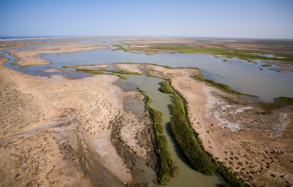
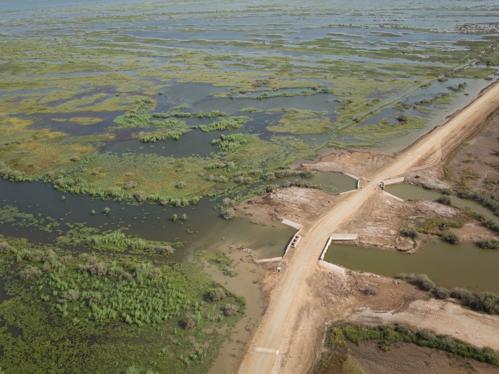
Eight hydrological units (basins separated by significant natural or artificial thresholds) can be delimited in the lower delta. From north to south, we distinguish: Aftout, the Chat Tboul basin, the N'Diader basin, the Diawling-Tichilitt basin, the Bell basin, the Gambar basin, the N'Thiallakh basin and the Gueyloubou basin.
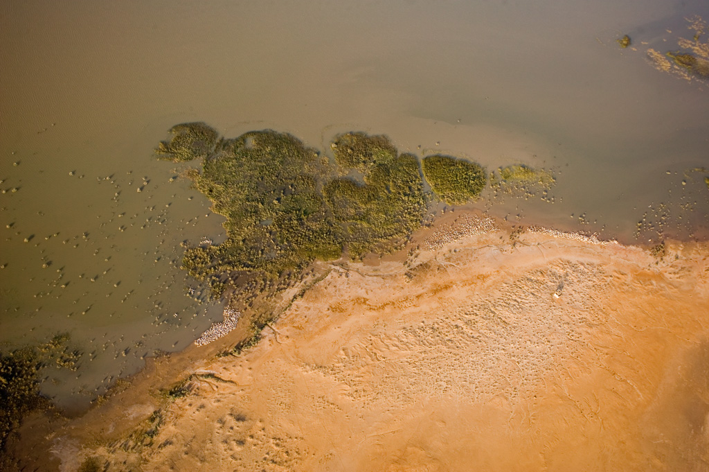
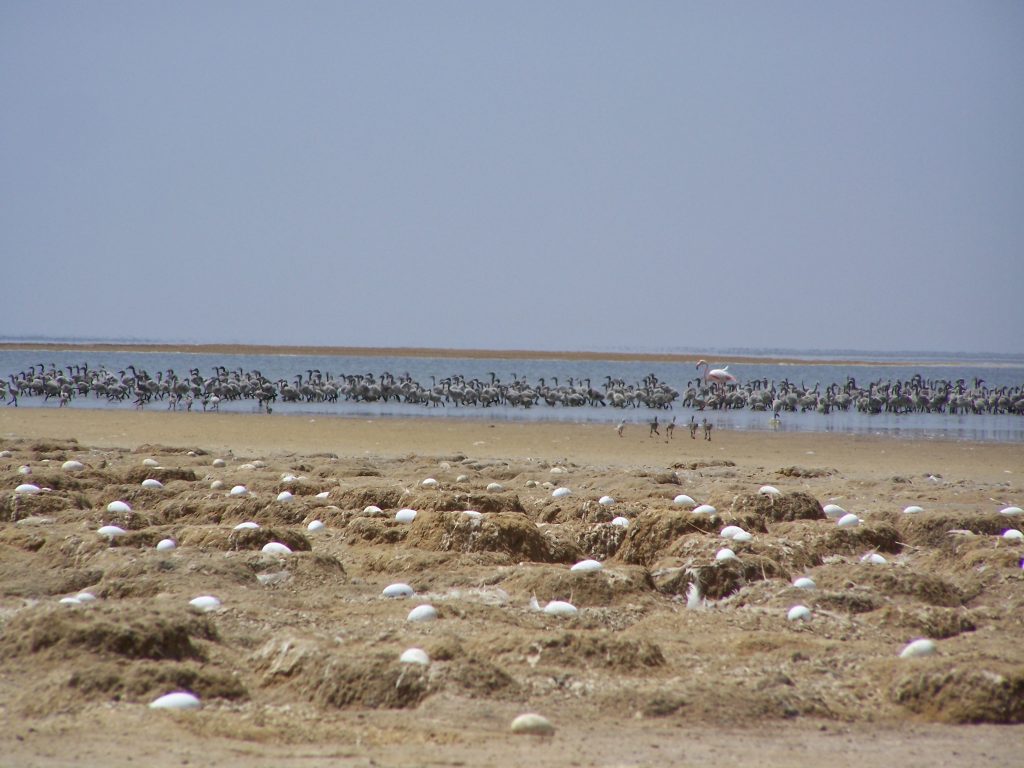
This ecological region is composed of basins, marshes (Tombousse north) and lagoons. It covers an area close to 46.000 ha. Its difficult accessibility makes it a privileged breeding and migration site for certain species of birds, particularly birds. lesser flamingos.
This region, despite its ecological importance, remains largely dependent on water releases from the Diawling-Tichilitt basin and the Aftout structure (N'Diader). She is flooded only when floods are significant.
This former mouth of the Senegal River covers an area of 15 ha including a floodable area estimated at approximately 600 ha. It contains two permanent lakes: Mules Lake, which is located to the west and whose depth and salinity are stable, and the Great Lake (200 ha) which undergoes significant variations in depth and salinity following the arrival of floods.
Several ponds located between the two lakes are fed by marine infiltration and by fresh water flows from the groundwater table and rain.
The basin is composed of two lakes (Diawling and Tichilitt). It covers a total area of 11 ha of which 000 ha are part of the Diawling National Park. It is located to the north and east, characterized by brackish lakes and halophilic vegetation.
Currently, flooding occurs mainly through the Cheyal structure. The site is the area of predilection in particular for geese, ducks, teals and coots ; it is also the privileged domain of nesting of cormorants, anhingas and egrets.
It extends over an area of 4.500 ha and is characterized by the diversity of its ecological sites which favor the importance of its biological diversity compared to other hydrological units. It is in fact characterized by: an open body of water and rich in microfauna and flora (sweet and brackish); a relatively closed body of water (fresh and brackish); a flooded area rich in grasses ; an area of Water lily lotus (water lily); an area with perennial grasses; and a body of water rich in nutrients.
It covers 4 ha. It is an old floodplain with several ponds and backwaters. He is permanently flooded since the filling of the Diama dam and is considered today "lost", because almost its entire surface is covered by invasive plants (Typha australis, Phragmites australis, etc.) which hinder the laying of nets and movement in canoes for fishing.
However, he continues toserve as a refuge for pythons and crocodiles and nest box for the black rail, the sultana hen and many other species.
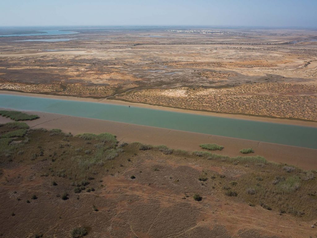
A area of approximately 20 ha, it is mainly fed from the south via the backwater of the same name, in communication with the part of the river located downstream of Diama. This basin irrigates a vast network of backwaters and is located in the peripheral zone of the park.
The lakes of N'Tok and N'Ter : Supplied with water by the N'Thiallakh and the Cheyal works (N'Tok only), they constitute breeding grounds of crustaceans and fish dependent on the brackish environment. They are among the main sites of shrimp fishing.
He covers an area estimated at 4 ha. It is fed by the backwater of the same name, which is located to the east at the junction with the river downstream of Diama and alternatively, to the south, by a backwater which passes to the west of the island of M'Boyo. A major backwater follows the coastal dune towards the north to the east of N'Diago, the N'Gadad.